9 Arch Bridge without the jungle trek
Most guides send you on a 45-minute trail from Ella town. There is a shorter way. Drive in, park, walk 10 minutes on a shaded concrete road, and you are standing on top of the bridge.
Railway note (June 2026): The Ella line is currently closed following cyclone damage. If watching a train cross is the whole point of your visit, check locally before making the trip. The bridge itself is fully accessible and worth seeing regardless.
Who this route is for
You have a vehicle or tuk-tuk, you want to see the bridge without building a half-day around it, and the 45-minute trail from Ella town does not appeal to you.
One thing to set straight before you go: you arrive at the top of the bridge on this route, not below it. The famous postcard photos looking up at all nine arches are taken from the standard trail. This route gives you a different, less-photographed perspective. Worth knowing before you decide.
The route
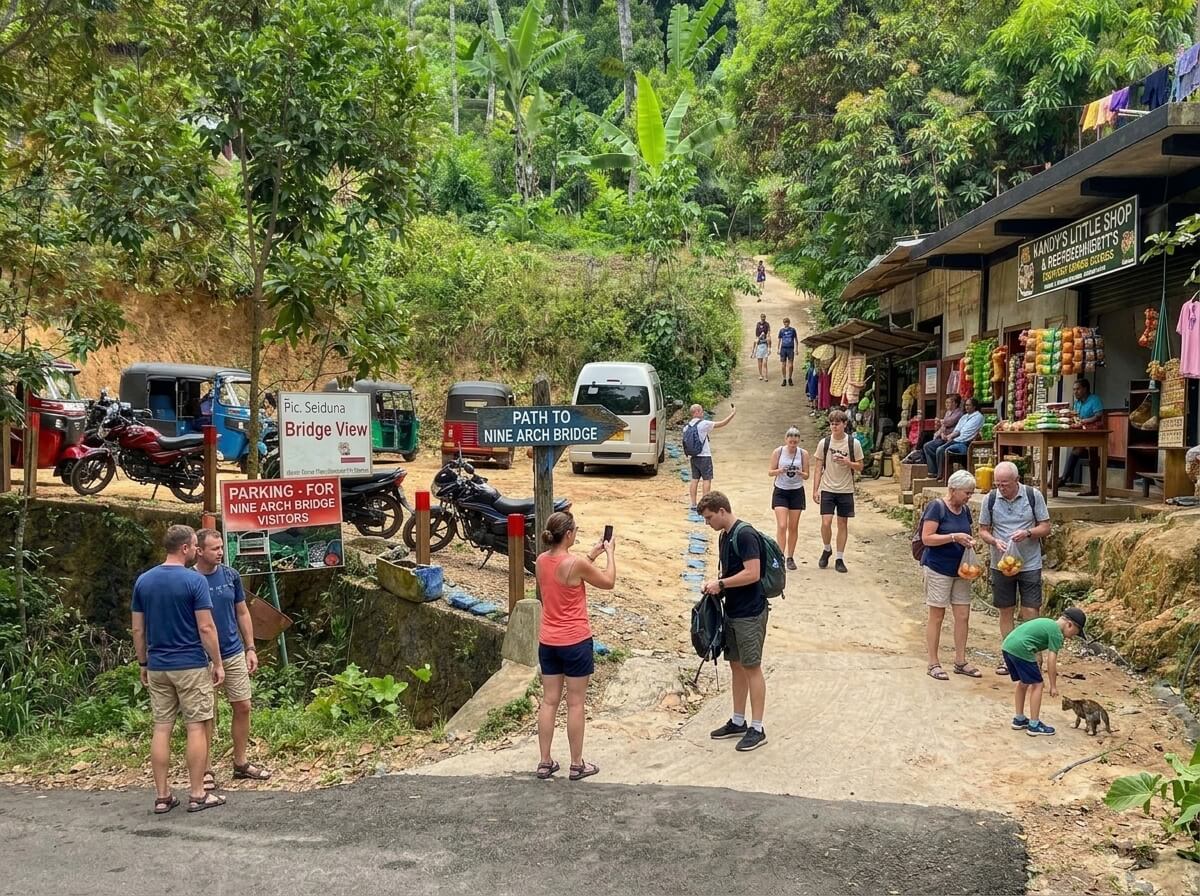
Navigate to the parking area at 6.879245, 81.060034. There is a small private lot at the bottom of the climb with a shop selling water and king coconuts. Pay the parking fee here and stock up before you walk.
From the parking area, follow the concrete road uphill. Trees line both sides so you stay in shade even in the midday heat. There is one steep section. The surface is solid concrete the whole way, no loose rock, no mud paths.
The walk takes around 10 minutes. You enter from the tunnel side first, cross the tunnel, then you are on the bridge. The bridge is at 6.877172, 81.060414 if you want a second pin for reference.
Parking at 6.879245, 81.060034. Walk uphill 10 minutes to the bridge.
What to expect at the bridge
You walk onto the railway track at the top. The line is closed right now but it is still an active railway when running. Stay aware, do not linger on the track bed.
The views down into the valley are good. On a clear morning the jungle below and the hills beyond are the view. This is not the angle the Instagram photos are taken from, but it is a view most visitors to the bridge never see.
The bridge is 91 metres long. Walk it, look over the edge, then head back down the same way.
Skip this route if
You want the classic postcard shot looking up at the arches from below. Take the standard trail from Ella town for that view.
You have limited mobility or a pushchair. The steep section on the concrete road is manageable for most people but not for everyone. Flip flops are fine on dry days. After heavy rain the surface gets slippery.
Planning your Ella visit
The bridge works well as a 45-minute stop in a bigger day out from Ella. Pair it with Little Adam's Peak in the morning and you have a full day covered.
Read our Ella destination guide for the full two-day plan, or check the tuk-tuk and PickMe guide if you need to sort transport from Ella town. If you are coming from Colombo, the airport transfer guide covers the full route south.
Quick answers
Yes. There is a concrete road that brings you within a 10-minute walk. Park at the small private lot at the bottom of the climb and walk up from there. No jungle trail required.
Around 10 minutes on a concrete road shaded by trees on both sides. One steep section on the climb. Solid surface throughout. You arrive at the top of the bridge, not below it.
Yes. Private parking at the bottom of the concrete road climb with a small fee. A shop at the parking area sells water, king coconuts, and snacks. Stock up before the walk.
As of June 2026 the Ella railway line is closed following cyclone damage. Check locally before your visit. When the line is running, around six trains cross daily. The official schedule is at Sri Lanka Railways.
Manageable for most people. The steep concrete section is the main challenge. Not suitable for pushchairs or limited mobility. Flip flops are fine on dry days, slippery after rain.